HIKE #50!! I can't believe it has been a year already. Last September at this time I was hiking The Inca Trail in Peru and just starting my hiking adventures. Paul convinced me to hike Pikes Peak for #50, so I cautiously agreed. I had mixed emotions about how I would hold up at 14,000'. I knew it would be spectacular! Paul recommended hiking this trail Labor Day weekend because the weather is perfect this time of year. He has hiked it 4 other times at this time and always had great weather. To make this trip extra special we stayed at the historic Broadmoor Hotel. This was the nicest hotel I have ever stayed in and it was nice to be pampered by the luxury, excellent cuisine and great customer service.
Pikes Peak is the second most visited mountain in the world, second only to Mount Fuji in Japan. 15,000 people attempt to hike the 12.6 mile Barr Trail per year. We arrived in Manitou Springs at the Barr Trail at sunrise, approx. 6:30 a.m.. The parking lot was already full so we parked near by on a side street. The trail starts out at 6,700' and ends at 14,110' so the base to summit elevation gain is 7,400'. The trail is nicely wooded/shaded and maintained. We took our time stopping every couple of miles in the beginning and every few minutes near the end. We made it to Barr Camp, which is approx. 1/2 way in 3.5 hours and 10,200'. It is a wonderful place to stop and rest, eat, use the bathroom and refill your water. We rested for an hour before continuing up the last 6 miles. We passed through 3 different eco systems; Montane, Spruce-fir and Alpine. Once we reached treeline at 12,000' we still had two hours of climbing left. The last two hours seemed to take forever but we pushed on taking mini breaks every few steps. 9 hours after we had started, we reached the top! There were crowds of people who had either driven up or taken the Cog Railway. Instead of taking the Cog Railway, we hitched a ride with a woman and her son that we had met the last few miles of the trail.
Pikes Peak was the inspiration for school teacher Katharine Lee Bates to write
"America the Beautiful" in 1893. (Once you've seen Pikes Peak at sunrise
or sunset, you know what she meant by "purple mountain majesties.")
More important, it hosts three of the best trail races in the U.S.—the 12.6-mile Barr Trail Mountain Race (mid-July), 13.3-mile Pikes Peak Ascent and 26.2-mile Pikes Peak Marathon
(mid-August). The trail, an almost entirely dirt and gravel singletrack
route, passes through three ecological life zones as it climbs up the
eastern flanks of the mountain. The trail is named after Fred Barr, who
directed its construction from 1914-1921, while Pikes Peak is named
after American explorer Zebulon Pike, who discovered the mountain in
1806.
http://www.runnersworld.com/cda/microsite/article/0,8029,s6-238-511--14032-0,00.html
 |
| Trailhead the door before |

 |
| Almost Treeline! |
 |
| 16 Golden Stairs - near the top |

 |
| Broadmoor Hotel |
 |
| We Made It!! |
 |
| Broadmoor Hotel |
 |
| The Manitou Incline |
 |
| The Manitou Incline |
 |
| Top of Manitou Incline |
 |
| Pikes Peak with snow cover |
The following day, Paul convinced me to hike up the Manitou Incline. . . . WOW!
The Manitou Incline is a uniquely challenging one-mile route lined with
wooden railroad ties as it climbs 2,000 feet up the side of the
mountain. It's the site of a former cable car railway, but the rails
were removed in 1990, making it one of the most challenging time trial
test pieces anywhere. With an average grade of 41 percent—and a
super-steep section that climbs at 68 percent—most people find it to be
an ambitious 45-minute hike, but plenty of hearty local runners have
sped up the trail in less than 25 minutes. (The record to the top is
under 17 minutes.) But here's the thing: even though locals have been
hiking and running this route for 20 years (including athletes who live
and train at the nearby U.S. Olympic Training Center),
it's technically illegal. But that is expected to change soon as
Manitou Springs is working with the U.S. Forest Service and other
agencies and land owners to officially open the Incline for public
recreation. http://www.runnersworld.com/cda/microsite/article/0,8029,s6-238-511--14032-0,00.html

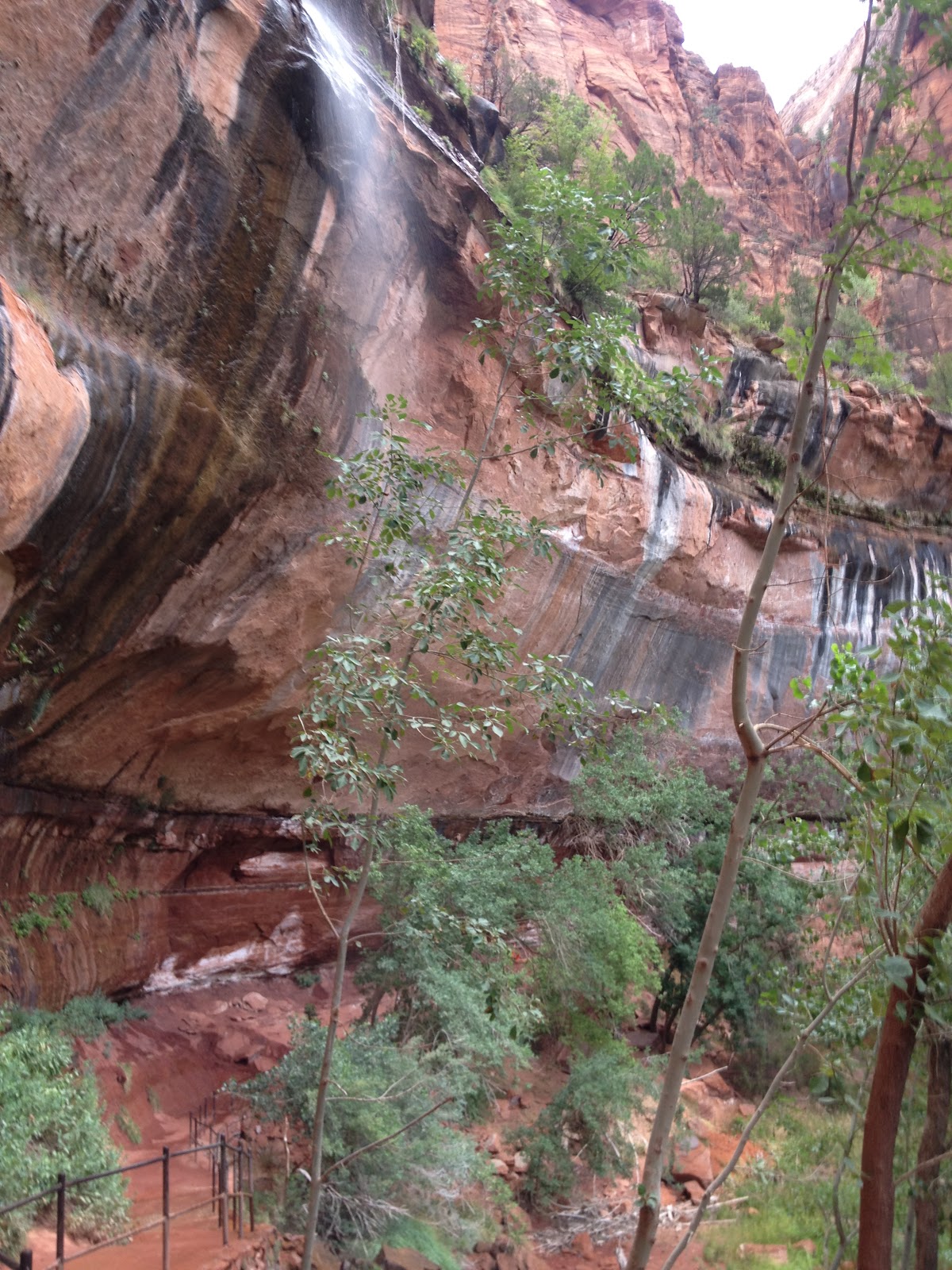
 Siphon Draw trail in
the Superstition mountains has a reputation as a challenging hike. I can
attest to this trail living up to it's reputation! The 6 mile RT trail
starts out gradual to the waterfall then becomes steep requiring a lot
of hands and arm work to balance and pull yourself up large boulders and
squeeze through narrow clefts in the rock. Paul and I hiked to the Flat
Iron which is a large flat mesa like area on one of the highest
cliffs. We then hiked to the summit of the trail where there is a flag
made from an agave stalk with a piecs of white denim where hikers can
write there names etc. The day we hiked was also the anniversary of a
plane crash from one year ago that killed 6 people including the 3 small
children of Karen Perry. We met her on the trail as she was nearing
the top of a memorial hike with some friends. We visited the memorial
that friends have made for the crash victims. This was a long day of
hiking, approx. 5 - 6 hours and very tiring but rewarding.
Siphon Draw trail in
the Superstition mountains has a reputation as a challenging hike. I can
attest to this trail living up to it's reputation! The 6 mile RT trail
starts out gradual to the waterfall then becomes steep requiring a lot
of hands and arm work to balance and pull yourself up large boulders and
squeeze through narrow clefts in the rock. Paul and I hiked to the Flat
Iron which is a large flat mesa like area on one of the highest
cliffs. We then hiked to the summit of the trail where there is a flag
made from an agave stalk with a piecs of white denim where hikers can
write there names etc. The day we hiked was also the anniversary of a
plane crash from one year ago that killed 6 people including the 3 small
children of Karen Perry. We met her on the trail as she was nearing
the top of a memorial hike with some friends. We visited the memorial
that friends have made for the crash victims. This was a long day of
hiking, approx. 5 - 6 hours and very tiring but rewarding.


.JPG)