Humphreys Peak, Flagstaff, AZ

Humphreys Peak, Flagstaff, AZ
Base meadow at Humphrey's Peak

Saturday, August 4, 2012

Hike #46 - The Narrows, Zion National Park, UT

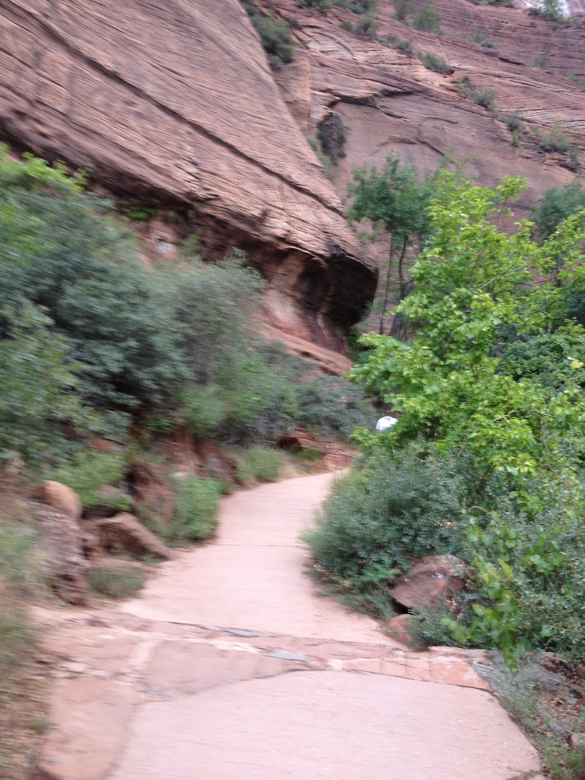
The same day we hiked Angel's Landing (July 15, 2012) Paul and I hiked The Narrows at Zion National Park.  This was my first visit to the park and I fell in love with it.  The Narrows trail is a water hike in The Virgin River.  In some places the water went to our waist.  We had our water shoes and hiking poles to balance as we walked along the slippery rock river bottom.  The water was brown and you could not see how big the rocks/boulders were in front of you so you had to be very careful not to stub your toe or lose your balance. Often there are flash flood warnings so luckily we were there on an afternoon when it did not rain which is common for this time of year. It was a refreshing cool hike for a warm July day.  The canyon is absolutely beautiful with many photo opportunities!


Hike #45 - Angel's Landing, Zion National Park, UT


In my travels I have done some scary things like swim with piranha in the Amazon River or ride Space Mountain at Disney World but nothing got my attention like hiking the last half mile of the Angel’s Landing trail!  I had watched videos of other hikers and read others various accounts but until you actually hike this it is hard to put into words. It was a cloudy day and we had an earlly start around 6:30 am.  We were advised to get there early to avoid crowds since the top section is very narrow.  This was a great time to go and we did miss the crowd.  The first 2 miles was paved and not difficult. There are lots of switchbacks that make it easier to climb.  Scout Lookout is where a lot of people turn around.  There are also restrooms there.This is one of the most popular hikes at the park and you don’t have to hike the last half mile especially if you have any fear of heights.  The trail is 5 miles round trip with an elevation gain of 1,488’.  In many places there are 1500' sheer drop offs while you are cling to a large chain bolted into the rock face and try not to look down!
“The Angels Landing Trail is one of the most famous and thrilling hikes in the national park system. Zion's pride and joy runs along a narrow rock fin with dizzying drop-offs on both sides. The trail culminates at a lofty perch, boasting magnificent views in every direction. Rarely is such an intimidating path so frequented by hikers. One would think that this narrow ridge with deep chasms on each of its flanks would allure only the most intrepid of hikers. Climbers scale its big wall; hikers pull themselves up by chains and sightseers stand in awe at its stunning nobility. The towering monolith is one of the most recognizable landmarks in the Southwest. “http://www.zionnational-park.com/zion-angels-landing-trail.htm 


Tuesday, July 24, 2012

Hike #44 - Angel's Palace Trail, Cannonville, UT


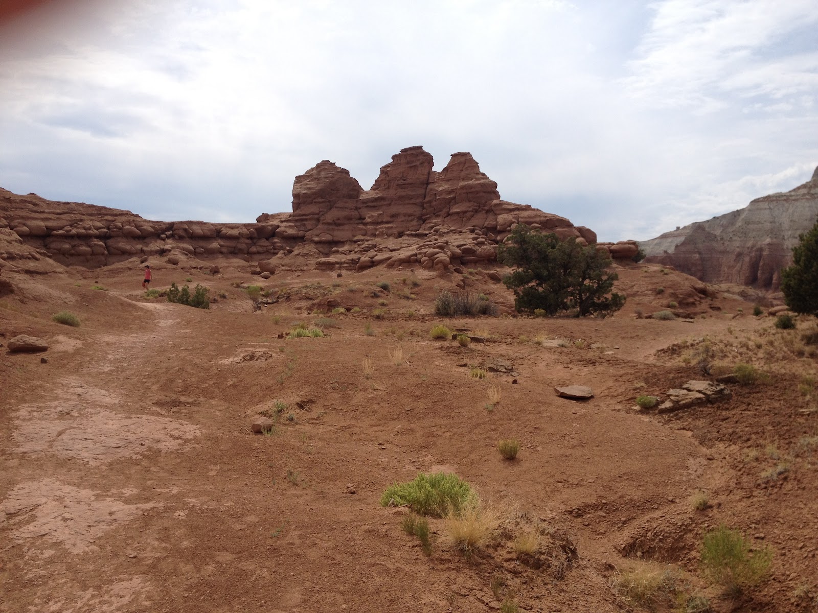
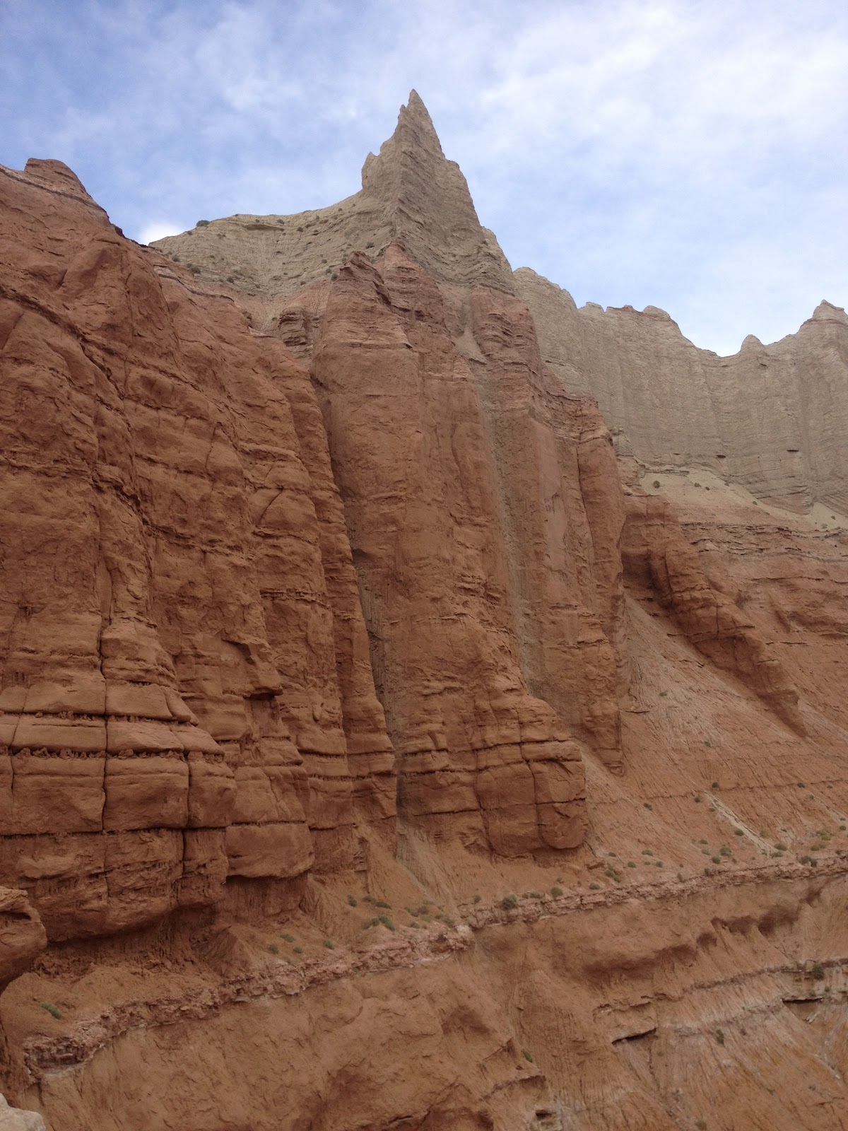
The Angel's Palace Trail was recommended to us by the ranger at the Kodachrome Basin State Park.  The trail is easy and only one mile round trip.  It has many interesting rock formations and some nice views of the park.  We came to Cannonville, UT to pick up our race packets for the Bryce Canyon Half Marathon which we ran on July 14th.


Monday, July 23, 2012

Hike #43 - Queen's Garden/Navajo Loop Trail, Bryce Canyon, UT


The Queen's Garden Trail is an easy trail that descends 320' into Bryce Canyon from Sunrise Point with magnificent close up views of the hoodoos.  This trail intersects with the Navajo Loop Trail which is a moderate hike through a "slot" canyon.  There are many switchbacks and unending photo opportunities.  We came out at Sunset Point where we had been earlier that morning.  Everyone we passed seemed to be from another country from the different languages we heard.  The distance of this combined hike was about 3 miles.


Sunday, July 22, 2012

Hike #42 - Sunrise/Sunset Point, Inspiration Point, Bryce Canyon, UT


 Bryce Canyon is best know for it's "Hoodoos".  Hoodoos are tall skinny spires of rock that protrude from the bottom of arid basins and "broken" lands. The Rim Trail at Bryce Canyon covers 11 miles and has beautiful views of the Hoodoo's.  It was a cloudy day so we missed the sunrise but it was a nice easy hike from Sunrise Point to Sunset Point, approx. .5 miles, then to Inspiration Point another .5 miles.  We saw rain in the distance and the rock formation named "Sinking Ship".  After breakfast, we came back to this area to hike the Queen's Garden Trail and Navajo Loop Trail.